Downey & LA County
What the 2022–2023 Atmospheric Rivers Taught Us About Urban Flooding
Nine consecutive atmospheric rivers in three weeks — the longest such stretch in seventy years of records. The lesson was about intensity, not totals.
The short answer
Nine consecutive atmospheric rivers hit California in about three weeks over December 2022 and January 2023 — the longest such run in seventy years of records, delivering roughly 32 trillion gallons. The lesson for buildings was that rainfall intensity matters far more than total.
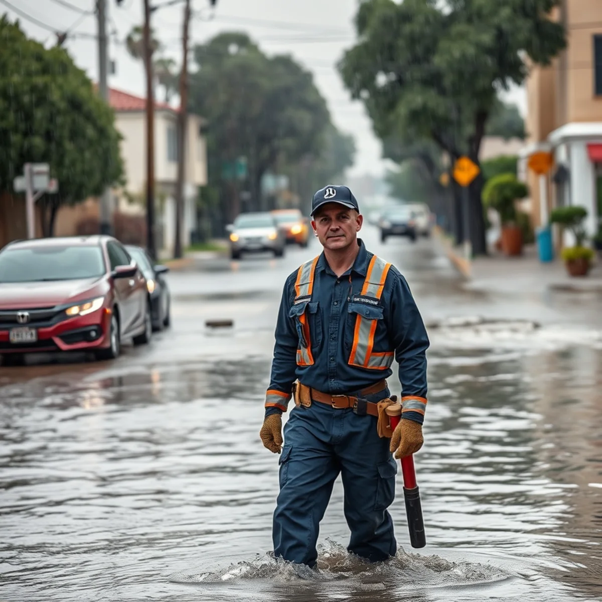
Between late December 2022 and mid-January 2023, California was hit by nine consecutive atmospheric rivers in the span of three weeks. It was the longest stretch of continuous atmospheric river conditions in the seventy years that records have been collected.
The sequence delivered roughly 32 trillion gallons of water to the state, triggered more than 700 landslides, killed at least 22 people, and produced an estimated $5 to $7 billion in damage. The San Francisco Bay Area recorded its wettest three-week period in 161 years.
For those of us working restoration in the Gateway Cities, it was a concentrated lesson in how urban flooding actually behaves.
What an atmospheric river is
A narrow corridor of concentrated water vapor in the atmosphere, transporting moisture from the tropics toward higher latitudes. The strong ones carry more water than the Mississippi River, and when one makes landfall and stalls, it delivers that moisture as sustained, high-intensity rain over a small area.
They are not unusual — California depends on them for a large share of its annual precipitation. What made the 2022–23 sequence remarkable was that they arrived back to back, with no drying interval between them.
Lesson 1: intensity beats total
The single most useful thing that sequence demonstrated is that rainfall total is nearly irrelevant to flood damage. Rate is everything.
Storm drains are sized for a design storm. Once rate exceeds that capacity, the excess has nowhere to go — it backs up at the inlets, sheets along the gutter line, and finds the lowest opening it can reach. That opening is very often a garage door or a threshold on a street with no flooding history.
Lesson 2: back-to-back storms are the real danger
One intense storm on dry ground is manageable. The soil absorbs some of it, drainage systems clear between bands, and the system recovers.
Nine in three weeks removes all of that. The soil reaches saturation and stops absorbing anything, so essentially 100% of subsequent rainfall becomes runoff. Groundwater rises, which pushes moisture up through slabs and infiltrates cracked sewer laterals. Drainage systems never get a chance to clear, so debris accumulates at inlets. And any roof or envelope failure created by storm one gets tested by storms two through nine.
The third storm in a sequence causes more damage than the first, from less rain.
Lesson 3: the delayed sewage wave
This is the pattern that most surprises homeowners, and we saw it clearly through that period.
Our sewage calls did not peak during the heaviest rain. They peaked one to two days after it stopped. Groundwater takes time to rise to its maximum after rainfall, and when it does, it infiltrates the cracked joints in old clay-tile sewer laterals. That extra volume tips a marginal line into a full backup.
So a household would get through the storm with no problem at all, then have sewage coming up through a shower drain on the first clear day. In Rio San Gabriel and the low ground of Pico Rivera, that sequence is close to reliable.
Lesson 4: wind damage is a delayed fuse
A large share of the roof leaks we attended during that sequence were not caused by those storms. They were caused by earlier Santa Ana wind events that had lifted tiles or torn flashing months before — damage that leaked nothing at all until sustained heavy rain arrived with the right wind direction.
The homeowners had no idea anything was wrong with their roofs. Nothing had ever leaked.
What to actually do before the next one
- Get the roof inspected after any significant Santa Ana wind event, not after the ceiling stains — this is the highest-value item on the list
- Clear every yard, area, and driveway drain before November; they silt up over a dry summer and nobody checks them
- Confirm downspouts discharge well away from the foundation rather than pooling against it
- On a flat or low-slope roof, clear the drains and scuppers — ponding water 48 hours after rain means the drainage is not working
- Keep sandbags or a threshold barrier if your garage has taken water before
- Get anything valuable off the garage floor and onto shelving
- If your drains have been slow or gurgling, scope the sewer lateral before the wet season, not after
- Check whether you have flood coverage and a sewer backup endorsement — both are commonly missing
And when it does get in
Storm water that entered from outside is Category 3 contaminated, however clear it looks — it crossed soil, roadway, and storm drain infrastructure.
Keep people and pets out of it. Do not run box fans on it, which aerosolizes contamination into the air the household is breathing and is the single most harmful mistake we see. And expect that porous materials which absorbed it, carpet pad above all, will need removal rather than drying.
During a major sequence, call volume across the whole basin spikes at once. We will give you an honest arrival window rather than a number we cannot hit — which we think is more useful than a promise that slips.
Frequently asked
Nine consecutive atmospheric rivers over about three weeks spanning late December 2022 and January 2023 — the longest stretch of continuous atmospheric river conditions in the seventy years records have been kept. The sequence delivered roughly 32 trillion gallons to the state and caused an estimated $5 to $7 billion in damage.
Because the ground is already saturated. Once soil reaches saturation it stops absorbing, so essentially all subsequent rainfall becomes runoff. Groundwater has risen, pushing moisture up through slabs and infiltrating cracked sewer laterals. Drainage never clears between bands so debris accumulates. And any envelope failure from an earlier storm gets tested repeatedly.
Groundwater peaks a day or two after rainfall rather than during it. When it does, it infiltrates the cracked joints in old clay-tile sewer laterals and adds volume the line was never carrying, tipping a marginal one into a full backup. That is why sewage calls cluster on the first clear day, which homeowners understandably find baffling.
Four lessons worth acting on
Intensity beats total. Two inches over a day drains away; two inches in an hour overwhelms the storm drains entirely and water goes to the lowest doorway, including on streets with no flooding history.
Back-to-back storms are the real danger. Once soil saturates it stops absorbing, groundwater rises, drainage never clears between bands, and any envelope failure from storm one gets tested by storms two through nine.
And the sewage wave arrives after the rain stops, when groundwater peaks and infiltrates cracked laterals. Get the roof inspected after any Santa Ana wind event, clear every drain before November, and scope the lateral if your drains have been slow.
Services mentioned in this article
Storm Damage Cleanup
Emergency tarping to stop the water first, then extraction, drying, and full documentation for the claim.
Learn moreFlood Cleanup
Storm and overflow flooding handled end to end — pump-out, contaminated material removal, disinfection, and documented drying.
Learn moreRoof Leak Water Damage Restoration
Tarping to stop the water, attic and insulation dried out, and the interior restored — with the storm date documented.
Learn moreAreas covered in this article
The LA County Flood Control District operates the Whittier Narrows Dam and the San Gabriel River / Rio Hondo channe…
based in Downey, serving the southeast countySouth Downey1960s–70s tract expansion south of Imperial Highway — newer slab construction, but in the direct San Gabriel River…
about 10 minutes from our Florence Ave base