Downey & LA County
24% of Downey Buildings Face Flood Risk — Here's Where
For a city most people do not think of as flood-prone, roughly a quarter of buildings carry meaningful exposure — and five census tracts are above half.
The short answer
Climate risk modeling puts roughly 24% of buildings in Downey at meaningful flood risk, with five census tracts having more than half their buildings exposed. The mechanism is urban flooding from rainfall intensity, not the rivers — which are channelized and controlled.
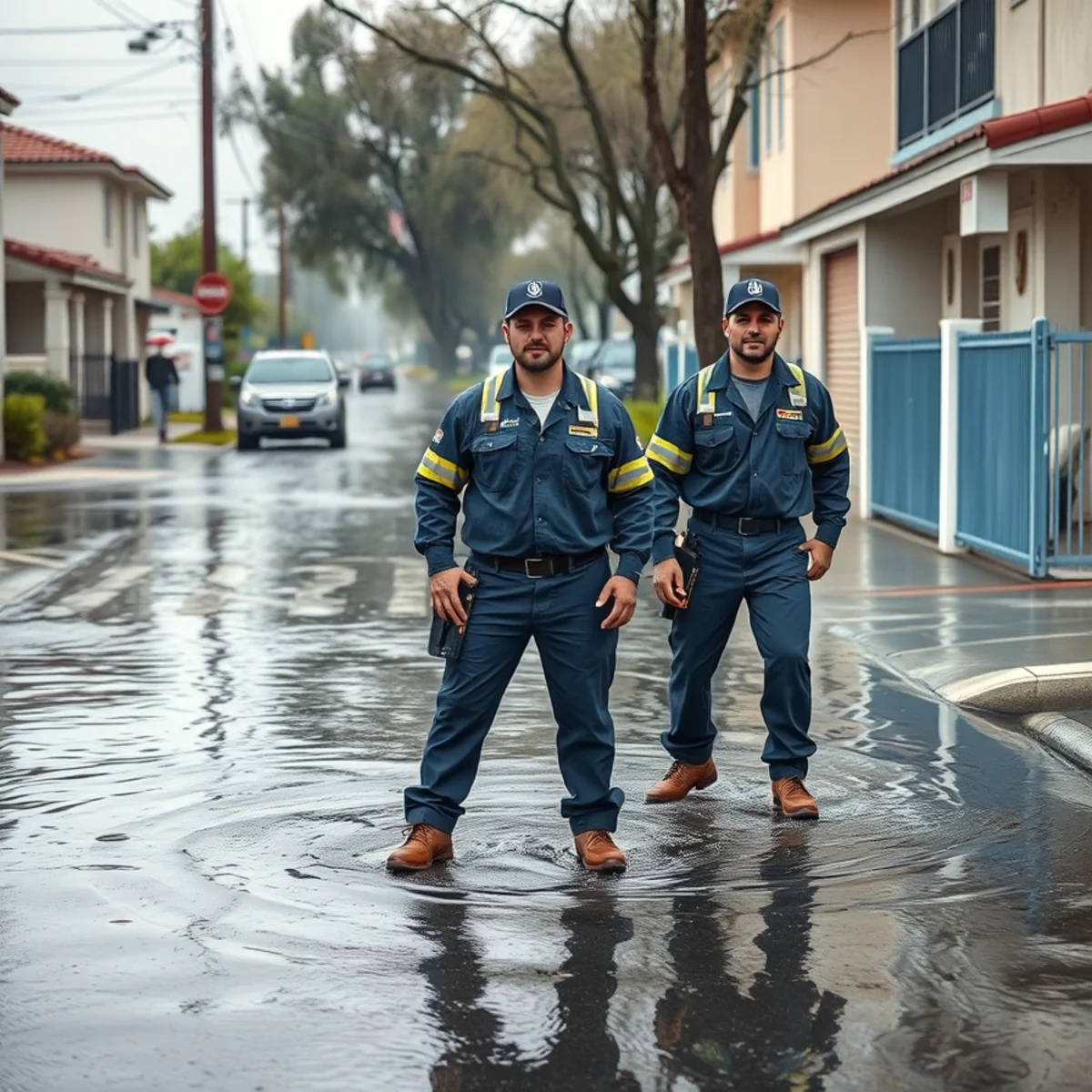
Downey does not feel like a flood city. It is flat, dry most of the year, and sits behind one of the most engineered flood control systems in the country. So the numbers surprise people.
Climate risk modeling puts roughly 24% of buildings in Downey at meaningful flood risk, with five of the city's census tracts having more than half their buildings exposed.
How a city behind flood control still floods
The distinction that matters is between riverine flooding and urban flooding, and Downey has essentially traded one for the other.
Riverine flooding — a river leaving its channel — is what shaped this area historically. The 1868 floods that devastated what was then Los Nietos actually moved the San Gabriel River into a new course. That risk has been largely engineered away: both the San Gabriel River and the Rio Hondo are now concrete channels operated by the LA County Flood Control District, with Whittier Narrows Dam controlling flows upstream.
Urban flooding is different and it is the modern risk. A dense, heavily paved city sheds rain rather than absorbing it, so essentially all of it goes into the storm drain system. That system has a design capacity. When rainfall intensity exceeds it, water backs up at the inlets, sheets along the street, and finds the lowest opening.
Where it happens in Downey
From the calls we take, the pattern is consistent.
| Area | Why it takes water |
|---|---|
| Rio San Gabriel | Lowest elevation in the city, closest to the river channel, highest groundwater |
| South Downey below Imperial Highway | Low-lying ground in the historic floodplain |
| Parts of Downtown Downey | Some of the oldest storm drain infrastructure in the city |
| Low points anywhere | Sunken driveways, below-grade garages, and depressed side yards across all neighborhoods |
That last row matters more than the first three. A slow-moving cell dropping two inches an hour will put water into a garage on a street with no flooding history at all, because the drain at the corner cannot take it fast enough. Geography sets the baseline; intensity decides the day.
What the risk number does and does not mean
A building being at meaningful flood risk does not mean it floods every year. These models estimate probability over a long horizon, incorporating precipitation patterns, elevation, drainage, and projected changes.
What it does mean, practically, is that a quarter of Downey property owners have exposure that their standard homeowners insurance explicitly does not cover — and most of them have never checked.
The insurance gap
Standard homeowners policies exclude flooding, meaning water that rises off the ground. That requires separate coverage, most commonly through the NFIP.
- NFIP policies normally have a 30-day waiting period — you cannot buy it when a storm is forecast
- Building and contents coverage are purchased separately; buying only the building leaves your possessions uncovered
- It is available whether or not you are in a mapped high-risk zone, and it is considerably cheaper outside one
- A meaningful share of flood claims come from properties outside designated high-risk zones
The distinction that catches people after a storm: rain that got in through a wind-created opening is usually a covered homeowners claim. The same rain, having pooled in the street and come in at the threshold, is flooding. Same storm, same house, two different claims — which is why we document the point of entry carefully.
What to do with this information
- Check your specific address against FEMA's flood map service rather than assuming from the citywide number
- Read your declarations page and confirm what you actually have
- If you have exposure, price a flood policy — outside a high-risk zone it is usually inexpensive
- Add a sewer and water backup endorsement, which most California policies exclude by default
- Clear yard and area drains before November; they silt up over a dry summer and nobody checks
- Keep sandbags or a threshold barrier if your garage has taken water before
- Move anything valuable off the garage floor onto shelving
And if water does get in
Whatever the insurance outcome, storm water that came in from outside is Category 3 contaminated — it crossed soil, roadway, and storm drain, and it carries what those carry, however clear it looked.
Keep people and pets out of it. Do not run box fans on it, which aerosolizes contamination into the air the household is breathing. And understand that porous materials which absorbed it — carpet pad above all — need removal rather than drying.
Frequently asked
Check your specific address against FEMA's flood map service rather than relying on the citywide figure — risk varies substantially street by street. Roughly 24% of Downey buildings carry meaningful flood exposure and five census tracts are above 50%, but a parcel two streets away can be quite different. Your lender's flood determination is another source if you have a mortgage.
Because the modern risk is urban flooding rather than riverine. The channels and Whittier Narrows Dam handle what the rivers do. What they cannot handle is rainfall intensity exceeding storm drain capacity — when two inches falls in an hour on a heavily paved city, water backs up at the inlets and goes to the lowest doorway regardless of what the rivers are doing.
Worth pricing at least. A meaningful share of flood claims come from properties outside designated high-risk zones, and outside one the premium is usually low. Bear in mind NFIP policies normally have a 30-day waiting period, so it is a summer decision rather than a storm-watch one.
What to do with this number
Check your specific parcel against FEMA's flood map service rather than relying on the citywide figure. Risk varies substantially street by street, and a parcel two roads away can be quite different.
The practical consequence is an insurance gap. Standard homeowners policies exclude flooding, NFIP coverage carries a 30-day waiting period, and building and contents cover are bought separately. It is a summer decision, not a storm-watch one.
Then do the cheap physical work: clear yard and area drains before November, extend downspouts away from the foundation, and get garage storage off the floor. Most of what we attend was preventable in an afternoon.
Services mentioned in this article
Flood Cleanup
Storm and overflow flooding handled end to end — pump-out, contaminated material removal, disinfection, and documented drying.
Learn moreStorm Damage Cleanup
Emergency tarping to stop the water first, then extraction, drying, and full documentation for the claim.
Learn more24/7 Emergency Water Removal
A person answers, 24/7. Crews dispatched within 60 minutes — nights, weekends, and holidays included.
Learn moreAreas covered in this article
1960s–70s tract expansion south of Imperial Highway — newer slab construction, but in the direct San Gabriel River…
about 10 minutes from our Florence Ave baseRio San GabrielAdjacent to the historic San Gabriel River channel — the lowest-elevation homes in Downey, with the city's highest…
6 to 9 minutes from our Florence Ave base